Forests Inspire
We Turn Knowledge into Action
Tanzania Forestry Geospatial, provide innovative and inclusive solutions to support sustainable forest management and conservation. Our consortium of young and senior experts leverages geospatial technologies, community engagement, and data-driven insights to empower local communities, conserve biodiversity, and strengthen climate resilience.
Through training, hands-on workshops, and knowledge sharing, we build capacity for the next generation of forest and GIS experts. Our goal is to transform forests, livelihoods, and landscapes across Tanzania through actionable solutions and collaborative approaches.
Tanzania Forestry Geospatial at a Glance
Young and senior professionals driving geospatial innovation and forest conservation across Tanzania
Innovative solutions in action, from GIS mapping to ecosystem management.
Engaging and empowering local communities to participate in forest conservation
Hands-on training programs and capacity-building initiatives for youth and stakeholders.
Focus Areas Overview
Tanzania Forestry Geospatial: Empowering communities and stakeholders to protect forests and enhance biodiversity.
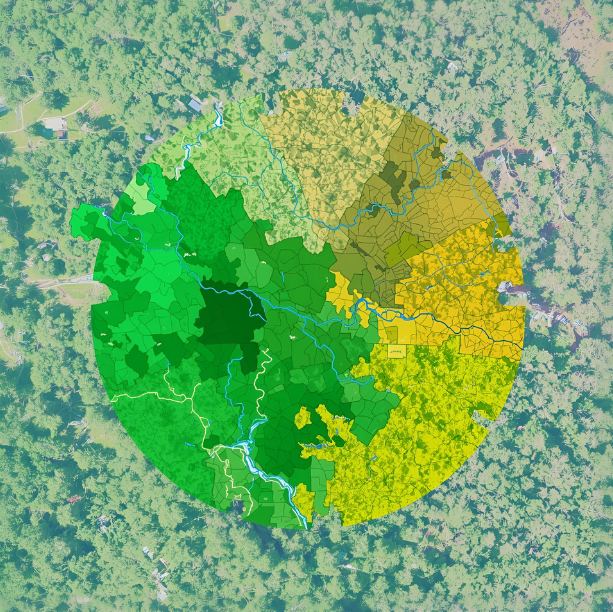
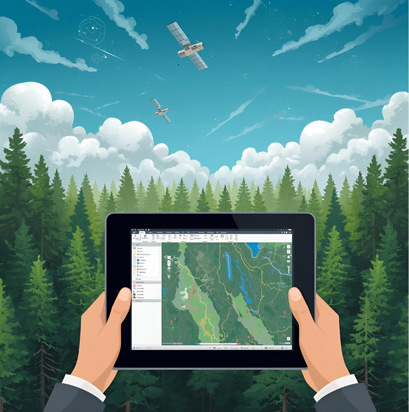
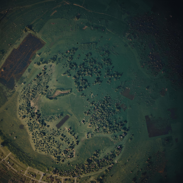
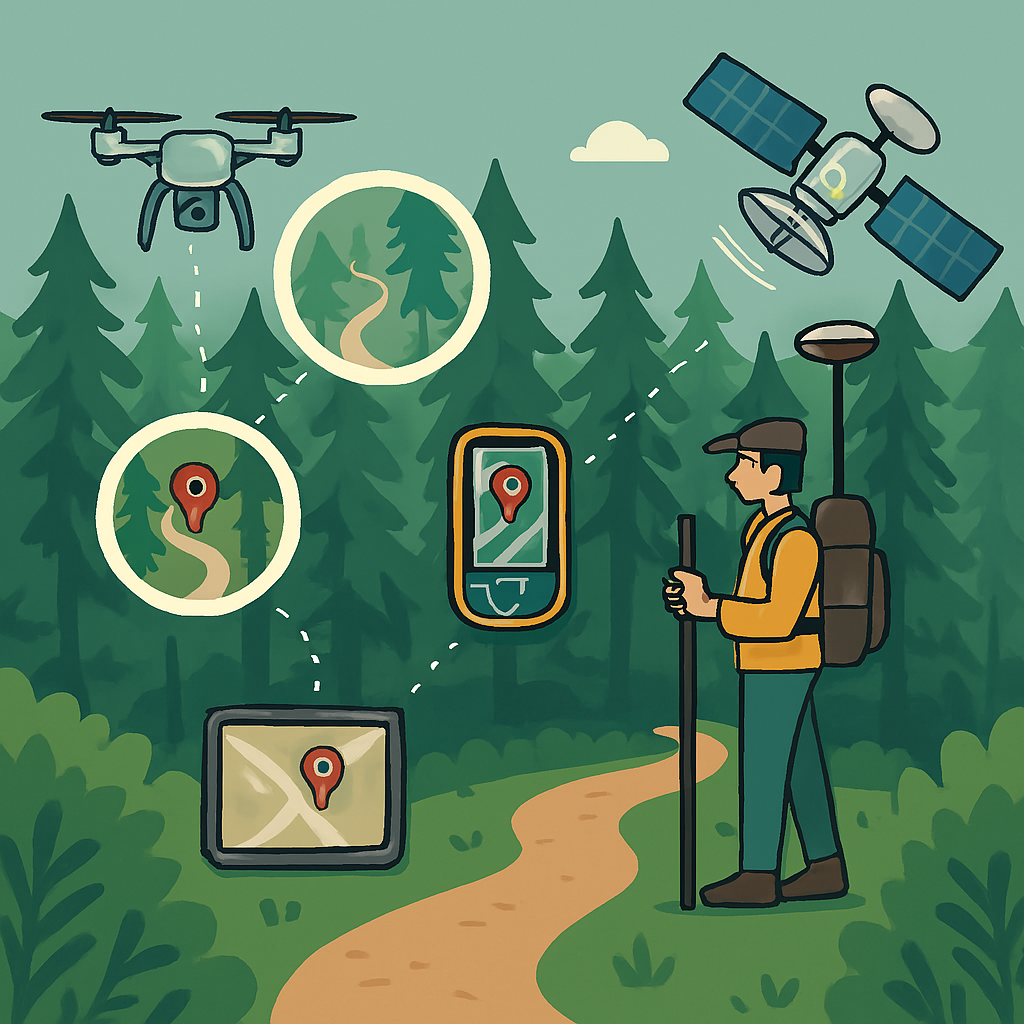
Geospatial Technology
Hands-on application of GIS, remote sensing, and mapping tools to monitor forests and ecosystems.

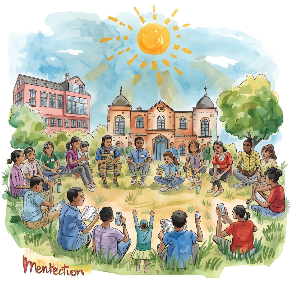
Community Engagement
Empowering communities through participatory conservation, training, collaboration, citizen science, and participatory GIS.
Forest Conservation & Management
Developing sustainable forestry practices, site-species matching, and ecosystem restoration.
Capacity Building & Training
Workshops, internships, and knowledge-sharing programs for youth, stakeholders, and professionals.
Climate Resilience
Analyzing climate scenarios, monitoring carbon stocks, and implementing adaptive strategies.
Our Programs & Initiatives